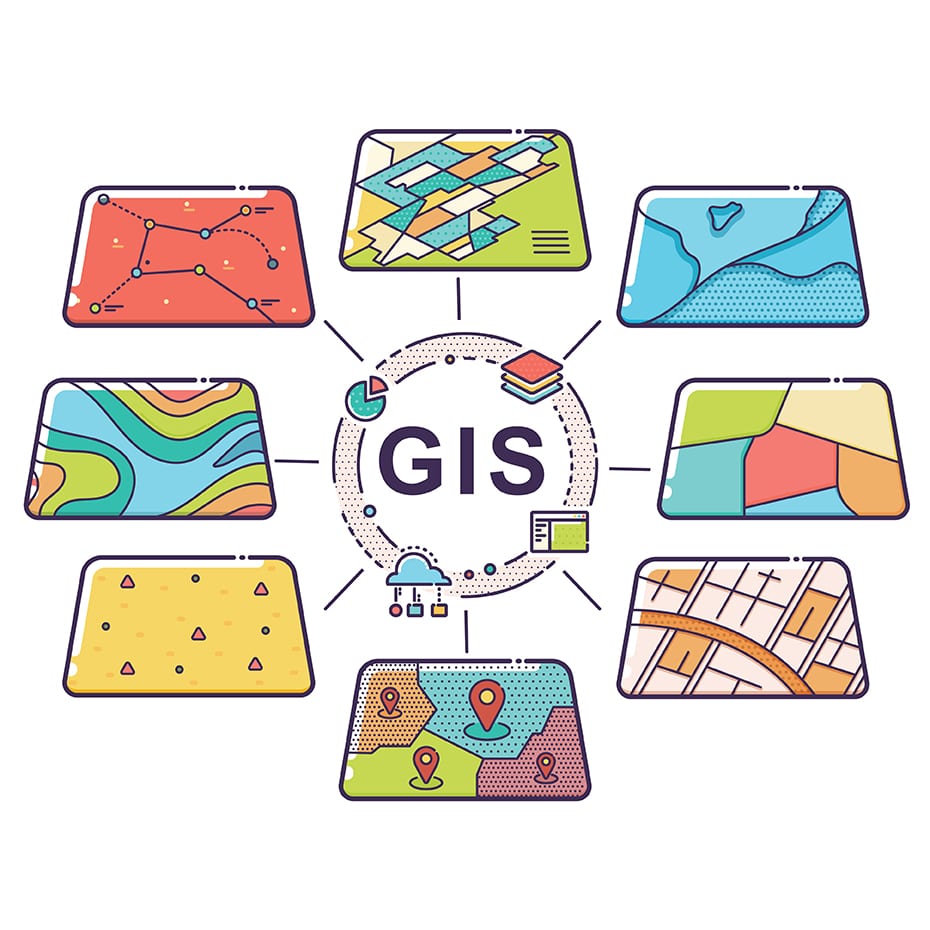
Geographical Information System
We specialize in Geographical Information System (GIS) services, providing precise mapping, spatial analysis, and data management. Our team ensures accurate, efficient, and innovative solutions for various projects, enhancing decision-making and resource management.
Geographic Information Systems (GIS) have revolutionized how we analyze spatial data and make informed decisions across various sectors. In urban planning, GIS plays a crucial role by integrating data on population demographics, infrastructure, land use, and transportation networks. Planners use GIS to visualize growth patterns, identify optimal locations for new developments, and assess the impact of proposed projects on communities. By overlaying different datasets, urban planners can create comprehensive maps that facilitate better city management and sustainable development strategies.
In environmental management, GIS enables organizations to monitor natural resources, track environmental changes, and plan conservation efforts effectively. Environmental scientists use GIS to map habitats, analyze biodiversity trends, and predict the effects of climate change on ecosystems. This spatial data analysis helps in designing conservation areas, managing wildlife corridors, and mitigating environmental risks such as pollution and habitat loss. By leveraging GIS technologies, stakeholders can collaborate more efficiently, share data transparently, and make data-driven decisions to promote environmental sustainability.
Beyond urban planning and environmental management, GIS finds applications in disaster response, public health, transportation logistics, and many other fields. It empowers organizations to visualize complex data relationships spatially, identify trends, and uncover insights that traditional data analysis methods might overlook. As GIS technologies continue to advance, with developments in real-time data integration and interactive mapping tools, their potential to inform decision-making and address global challenges becomes even more significant. GIS is not just a tool for mapping; it is a catalyst for innovation and sustainable development across diverse sectors worldwide.


